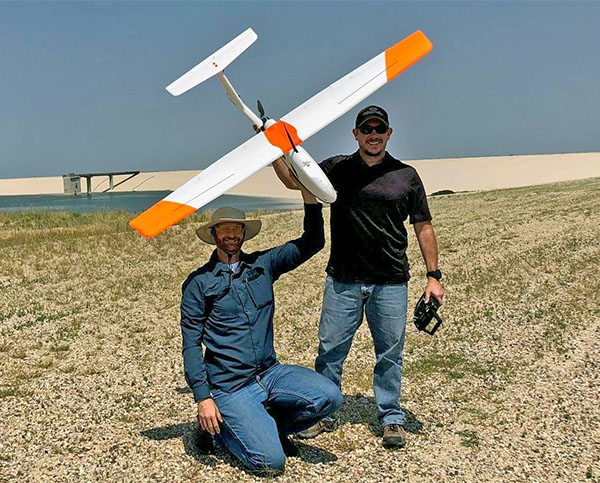
Geotech October 2018 Photo Competition Winner
Zac Mott and Brian Koch pose for a photo after completing several data collection flights using the GeoSwift Mapper.
The team spent the morning flying the GeoSwift Mapper sUAS (small unmanned aircraft system) to collect aerial images of a dam designed and built by the Army Corps of Engineers. The images collected were later rendered into a high-resolution map and 3D models.